
Moab, UT
Sand Flats & Navajo Rocks
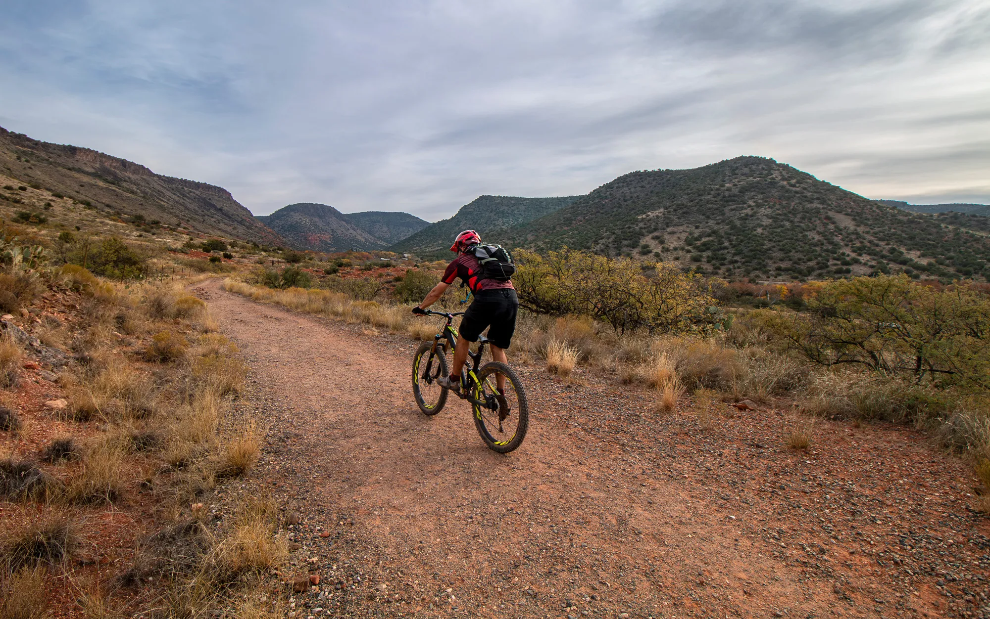
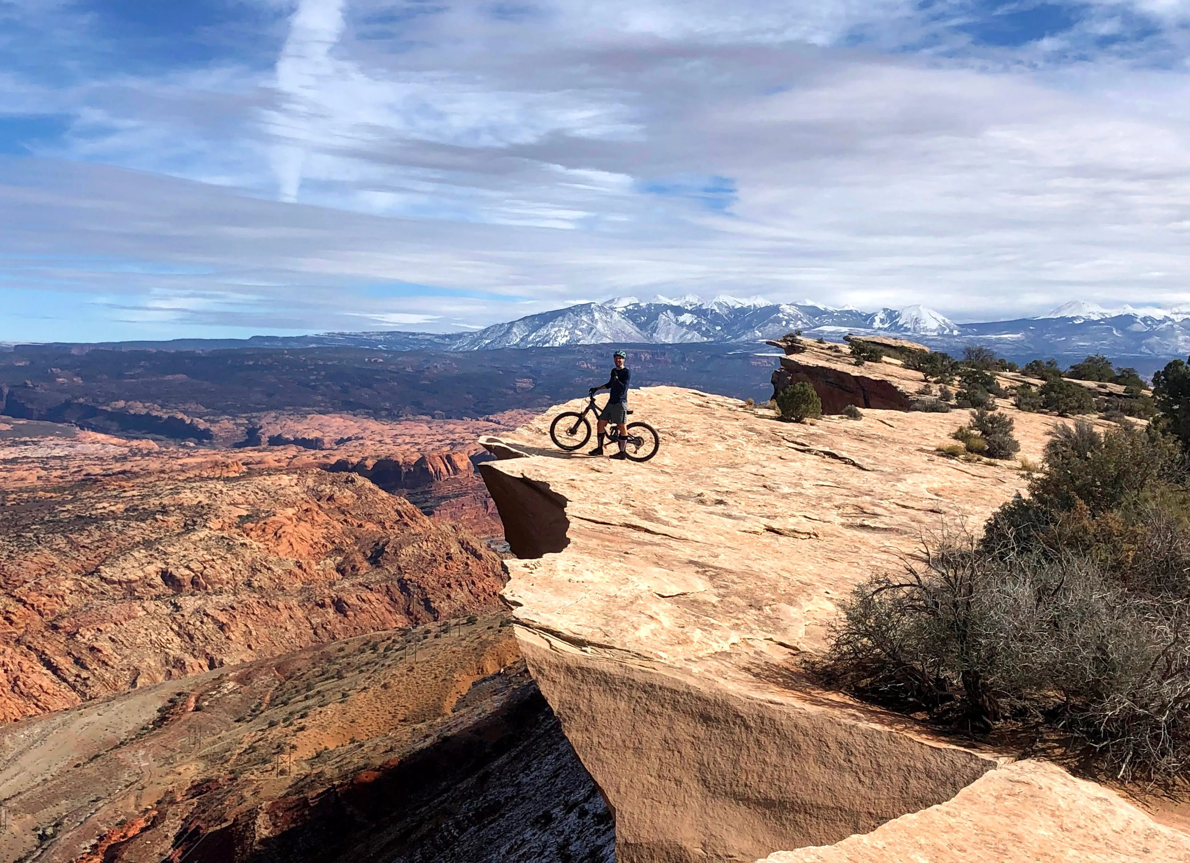
Moab is the trip people plan a year out and then talk about for the next five. Sandstone that grips like nothing else, ledges and slab and exposure, and rides that run from a two-hour lap to a shuttle-assisted descent off the La Sals that takes most of a day. Slickrock, Captain Ahab, the Whole Enchilada, Mag 7. The names have been on lists since mountain biking was invented, and the trail building has kept getting better since. Town is small, the desert isn't.
550+ miles: Slickrock, Amasa Back, Mag 7, Klondike, Navajo Rocks
Sandstone slab, ledge tech, sand, serious exposure
Peak Season: March to May and September to October
No lift. Shuttle culture for Whole Enchilada and Mag 7
Canyonlands (CNY) 20min / Grand Junction (GJT) 1:45 / SLC 3:45

Why We Love Moab
Sandstone that grips like nothing else and changes how you read every trail after this one. It's just the rock.
Our Top Trails To Ride in Moab
Most riding is on BLM and state land. The Sand Flats Recreation Area, where Slickrock is, charges a day-use fee per vehicle. Most other trailheads are free. Summer heat out here is a genuine hazard rather than an inconvenience, so spring and fall are the seasons, and even then you carry more water than feels reasonable. Shuttles run from town for the Whole Enchilada and Mag 7, but check that the top is clear. The La Sals hold snow well past when town is riding dry. Desert soil crust takes decades to recover, so stay on the trail, no exceptions.
Climb HyMasa, descend Ahab. Eight miles, and it's what the locals ride when they've only got a couple of hours.
Thirty-plus miles and around 7,000 feet of descending, alpine to desert. Shuttle it, and tighten your bolts at the top.
The original. Ride the practice loop first. It's not a warm-up, it's a reality check.
A linked point-to-point you can build a full day out of, with the Portal finish waiting if you're feeling brave.
Get To Know
Get To Know

Grand County Trail Mix & BLM
Almost everything you ride around Moab sits on public land managed by the Bureau of Land Management, with Grand County Trail Mix committee coordinating trail planning, construction and maintenance alongside local riders and land managers. Trailhead fees and use permits go back into the ground. The most useful thing a visiting rider does here is simple: stay on the trail, don't widen it around puddles, and leave the crust alone.
Be the first to ride Moab from Hiderhare